Property Land Explorer App
Real Property and Asset Management Mapping Solutions
Real Property /Land and Facility Asset Mapping
Real Property /Land and Facility Asset Mapping and Management Solutions with turnkey systems Display 3D Buildings and features and Models, 3D Terrain, 3D Floor Plans, Display Alternative Landuse and Zoning Scenarios
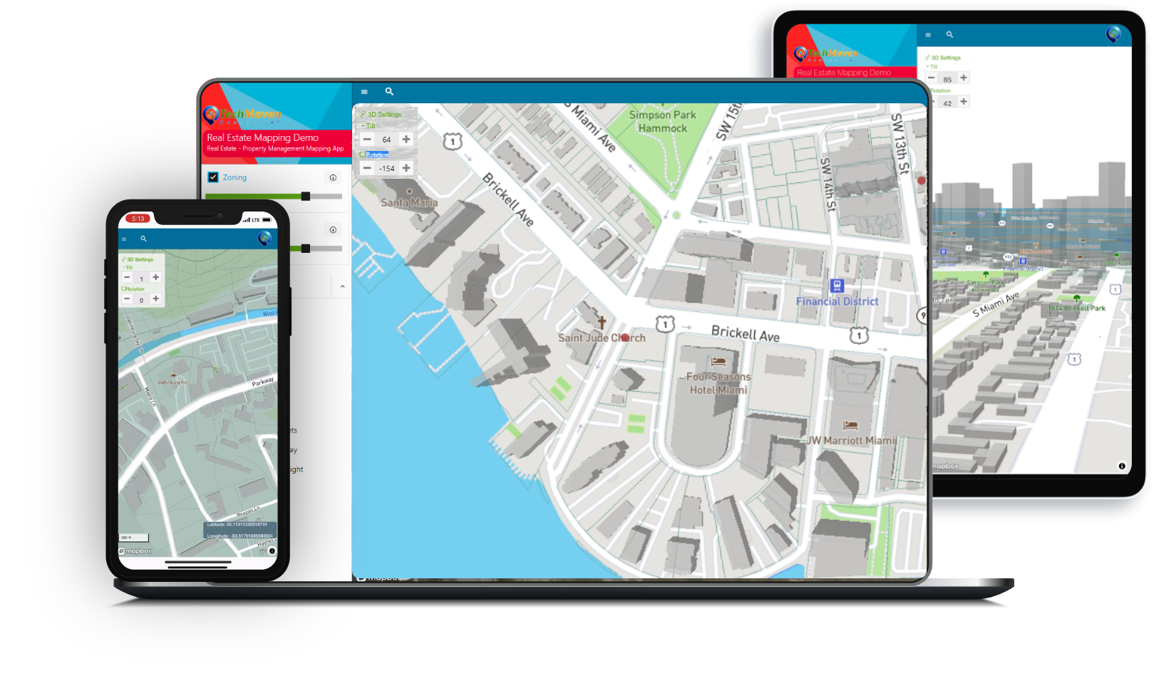
Web Mapping Applications
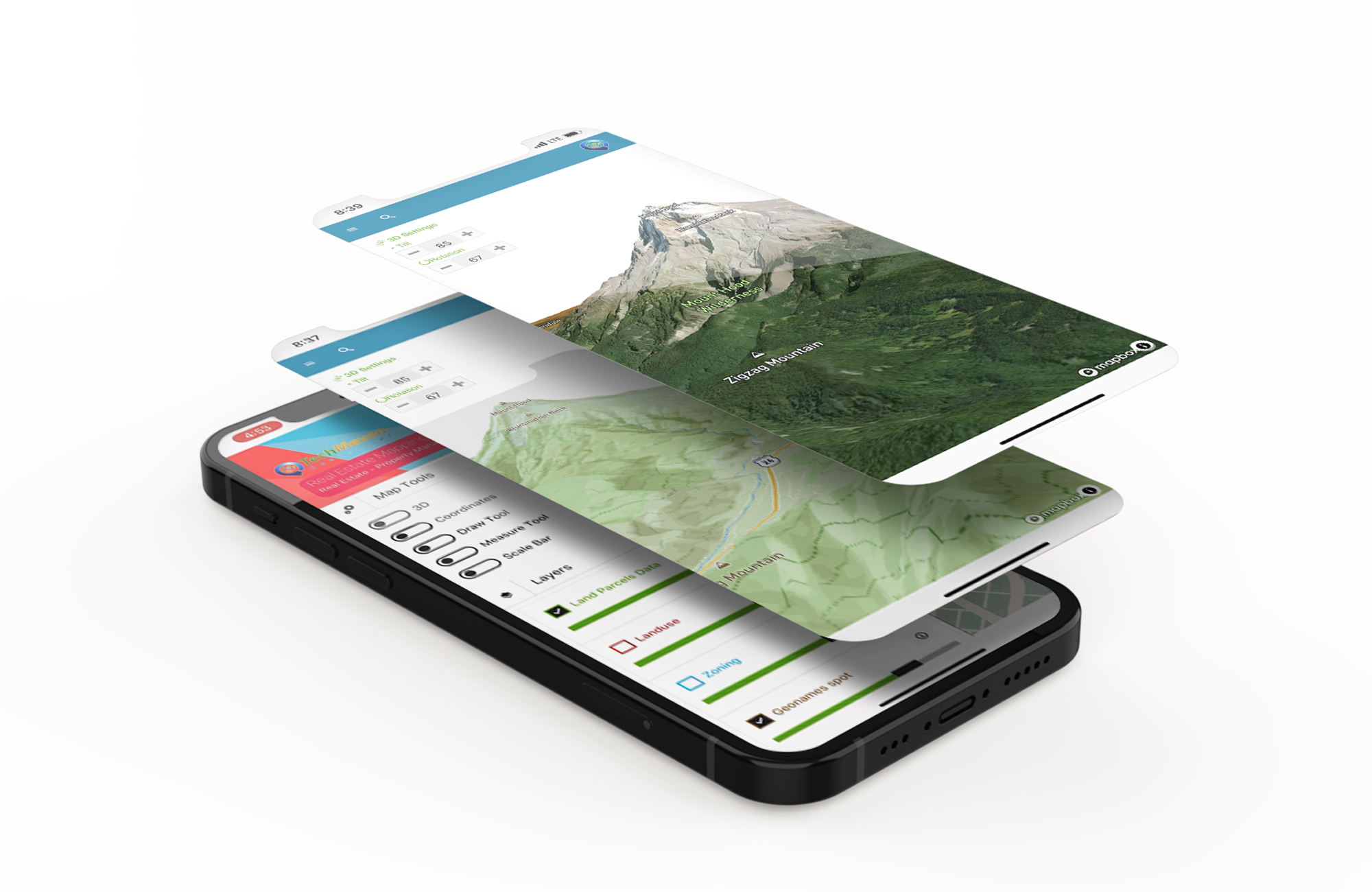
Mobile Mapping Applications
Window Desktop version
View Nationwide Parcel Data & Search
- Web Mapping Applications
- Mobile Mapping Applications
- Back-End Geospatial Stack and Geospatial Content Management
- Real Estate, Land Planning, GeoDesign
- Display 3D Buildings and features and Models, 3D Terrain, 3D Floor Plans, Display Alternative Landuse and Zoning Scenarios
- Integrate BIM and CAD Data
We can add additional overlays
Special search functions and widget’s…
As well as integration with our other modules like geocoding module and GeoServer REST API to allow rapidly displaying raster imagery and big GIS vector data

It’s Available iOS, Android Windows & Web…!!
We can also Build Linux & Mac


Contact us for custom versions
Let us build you a custom versions with your data/API and workflows and features
Integrate your GIS, BIM and CAD Data


Integrations
We can add Google Maps/Bing Maps StreetView Imagery and 45 degree/Oblique/Bird’s Eye Imagery and other integrations
If you have subscription to NearMap, Maxor, Pictometry or other data services we can also integrate those.
Need to do some Geospatial Analysis we can add lots of analysis capabilities both client-side code and server-side
via PostGIS and Python/Nodejs Packages
